Kilimanjaro 2011
Lemosho Route/Western Breach
I’m back in Moshi at the hotel having a Kilimajaro beer. The tagline is; “If you can’t climb it, drink it.” As it happens, I also reached the summit of Kilimanjaro yesterday, January 30, 2011 at 05:51. I’m stiff and sore, having skipped the scheduled overnight at an intermediate camp on the way down. Descending the whole mountain took about 9 hours, after the 2.5 hour summit push from Crater Camp.
I selected my route based on the advice of a renowned mountaineer and explorer, Bernard Voyer. My interests were in a physically challenging route with fewer people.
These are some notes and photos from the trip.
Day 1
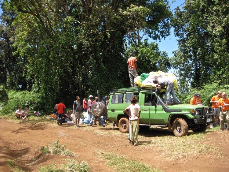
Leave hotel/Moshi at 09:00.
Start hike (7,600ft.)
4-5 hour hike to MTI MKWABA CAMP (~2,900m/9,500′)
Terrain is mostly mud, dirt and rock track in alpine rain forest.
Nighttime temperature down to about 2-3 degrees.


Day 2
Wake up. Cold feet. Happy to get feet in boots.
First out of camp.
About 3 hour climb to CAMP SHIRA 1 (~3,500m/11,500′)
Not big vertical gain, not a hard day.
Terrain changes to moorland.


Day 3
Surprisingly, a little warmer than last night.
Feet still cold. Still happy to get my boots on.
Overnight someone in another tent had a nasty cough and had to be evacuated.
2 hour hike to CAMP SHIRA 2 (~3,800m/12,500′)
Even lighter than yesterday.
Terrain now more like a scrub desert or moorland.
Long day in camp with not much to do.

Day 4
Last night was colder, below freezing.
Critical day.
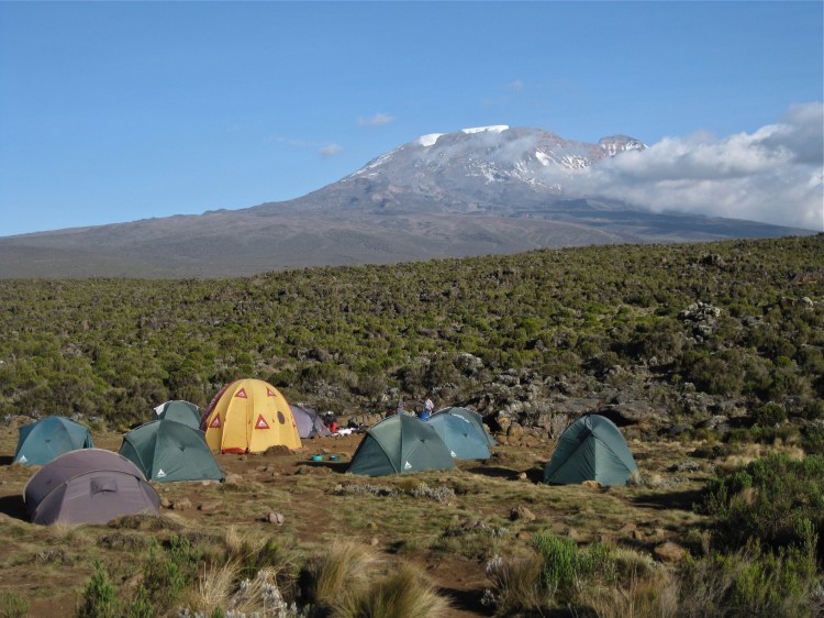
6 hour hike to LAVA TOWER CAMP (~4,600m/ 15,200′).
Big gain in altitude (+800m/2,700′).
Highest I have been.
Terrain becomes mostly rock and scree. Vegetation sparse.


Day 5
Not a good night. Toes very cold. Should have brought down booties. Occasional shortness of breath when lying down.
Uncomfortable so get up as soon as it’s light out. Just killing time until breakfast.
Nice views but can’t wait for acclimatization hike just to get moving and relieve boredom.
Thank goodness I brought ipad.
Hike up to ARROW GLACIER CAMP (~4,800m/16,000′) only takes 45 minutes, even walking slowly.
Descend back down to LAVA TOWER CAMP.
Day 6 – THE WESTERN BREACH
Not a great sleep again. Temperature in tent down to -10C. Cold toes.
Wake up early again. Can’t wait to get going.
Early hike up to ARROW GLACIER CAMP (~4,800m/16,000′)
45 mins. Light day again.
We are now climbing the Western Breach Route and there are a lot fewer people.
Beginning to think boredom is my biggest enemy in camp.
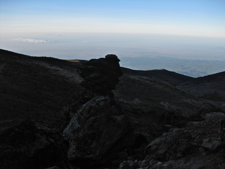
Staring puffy clouds head on. Puts this environment in perspective.
Can see the steep route up to Crater Camp. This will be the real physical test.
3 Americans killed on this route in 2006 so WBR was closed for a few years.
Day 7
Decent sleep. Temperature down to -15C in tent. Cold toes – what else is new?
Left just after dawn to begin long climb to crater. This was later than my colleagues and done for safety reasons. Rockfall killed 3 American climbers here about 6 years ago.
Guide figures we can start a bit later because I am a strong climber.
Even in low light, could not see rockfall but heard it constantly. Very disconcerting.
Developed a funny speech impediment 1 hour out of camp. Thinking perfectly clearly but fumbling for words. 5 minute rest and was fine.
After several hours, reach the famous ROCK STEPS (~5,500m ), a section of larger rocks and boulders that require scale/scramble combination. This is apparently as close to “technical” as any route on Kili. Some people say you need technical climbing ability for this. I have none and still made it. Biggest challenge was that climbing boulders at 18,000 feet is tiring, particularly near the end of an already demanding day.
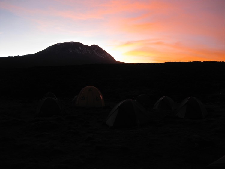
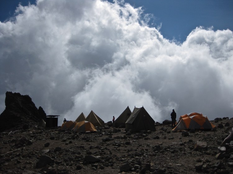
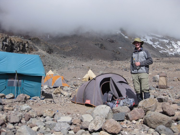
Pleased to reach CRATER CAMP (5700m/~18,700ft).
First day where I needed to push myself.
A little tired but realize tomorrow is summit day.


Day 8
Barely slept. Too excited. Was very cold, down to -15C in tent.
Start summit push at 03:15.
Climb in dark for 2.5 hours.
Can see the summit, the outline of the sign in the distance illuminated by the headlamps of 2 people who had arrived on another route.
I knew I had accomplished my objective. The feeling was unbelievable.
Reach Kilimanjaro/UHURU SUMMIT (5,895m/19,341′) at 05:51.
I take my summit photos before others arrive.
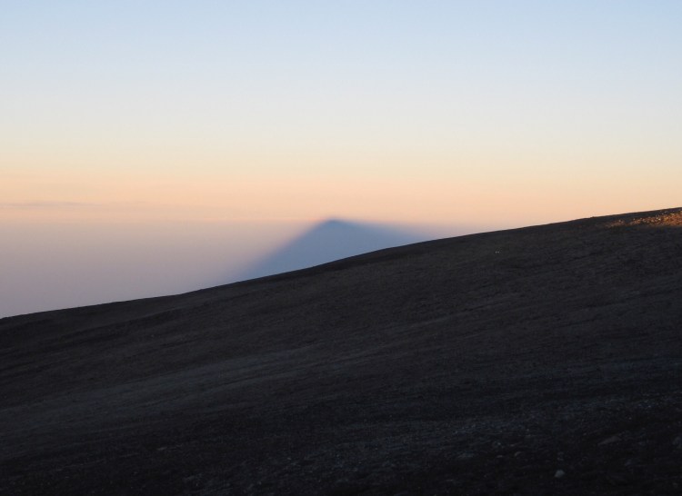
Frees me up to watch and photograph the sunrise. Glad I left camp early.
I spend 45 minutes on the summit.
I tell my guide I would like to descend all the way to the base and sleep at the hotel that night.
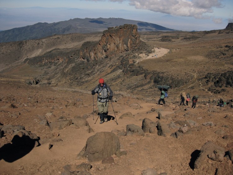
We descend the Marangu route, AKA the Coca Cola route – because it is the most popular.
Big camps. Lots of people. So glad I climbed the Lemosho/Western Breach!
Run out of water about 2/3rds the way down.
For the last hour, suffering from real dehydration and very annoyed with myself.
Descent takes about 9 hours.
Descent is very hard on leg joints because of the constant over-extension and impact.
At bottom, extremely thirsty and legs seize up after sitting down.
End of two big days.
A few hours later, back at hotel, can barely walk but I am now elated.
Kilimanjaro beer!


You must be logged in to post a comment.